Street Map of Fuengirola
Click any area on the map below for a larger detailed view. This map helps you locate taxis, stations, pharmacies, parking, monuments and main attractions.
Fuengirola combines a long sandy beach, a lively promenade and excellent facilities. Use this detailed clickable map to easily find everything during your stay.
Detailed Street Map of Fuengirola (clickable zoom zones)
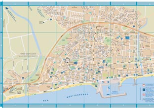 |
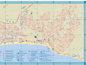 |
| Click any area on the images for a larger detailed view in a new window | |
Copy the following HTML code with one click:
<a href="https://www.malagacar.com/maps/malaga/fuengirola-map.htm">
  <img src="https://www.malagacar.com/images/maps/fuengirola_1.jpg" border="0" alt="fuengirola map west">
  <img src="https://www.malagacar.com/images/maps/fuengirola_2.jpg" border="0" alt="fuengirola map east"><br>
  Fuengirola street map © www.malagacar.com
</a>
Main Attractions in Fuengirola

Bioparc Fuengirola
A modern zoo in a beautiful natural setting, focused on animal welfare and conservation. One of the top family attractions on the Costa del Sol.
Visit Bioparc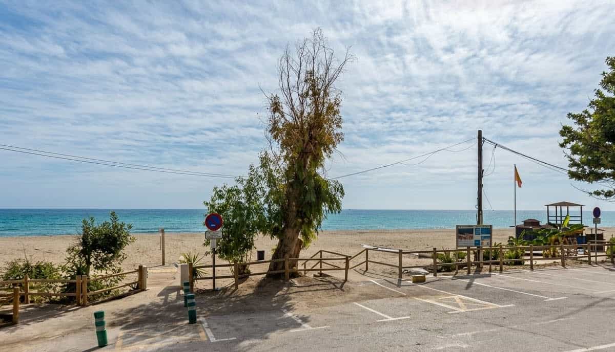
Fuengirola Beaches
Over 7 km of sandy beaches, including the popular Carvajal beach with its chiringuitos and excellent water sports facilities.
Discover the Beaches
Puerto Deportivo (Marina)
The lively marina with restaurants, bars, shops and boat trips. A great place for a stroll and to enjoy the sea atmosphere.
Explore the MarinaGetting to Fuengirola
Fuengirola is very well connected, just 25–30 minutes from Malaga Airport via the A-7 coastal road.

Car Hire: Recommended
The most flexible way to explore Fuengirola and nearby towns like Mijas, Marbella or the Axarquia.
Hire a car at Malaga Airport
Private Transfer: Comfortable Arrival
Door-to-door service from Malaga Airport in about 25–35 minutes.
Book a private transfer